Climate change issues often involve air temperatures, yet, 90% of the heat trapped by greenhouse gases since the 1950s is stored in the oceans (e.g., IPCC, 2019; Dahlman and Lindsey, 2020). Primary drivers of rising sea levels in most global regions are increasing ocean and atmospheric heat content which increases the melt of land and sea ice (and water molecule expansion) (e.g., IPCC, 2019; Fifth National Climate Assessment (2023)).
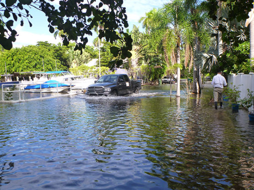
Sea level rise can affect communities of the Indian River Lagoon and coastal ocean in terms of many factors and impacts will increase over time (e.g., Parkinson et al. 2021; Parkinson et al. 2025.). Coupled with other geophysical processes, increasingly higher sea levels already generate more high-tide or “sunny-day” flooding events in south Florida (Wdowinski et al., 2016). The image is from a 2015 high-tide event in Coconut Grove, in Miami, Florida. Many similar trends are seen up the U. S. Atlantic coast including Chesapeake Bay, New Jersey, and New York (e.g., NOAA, 2020).
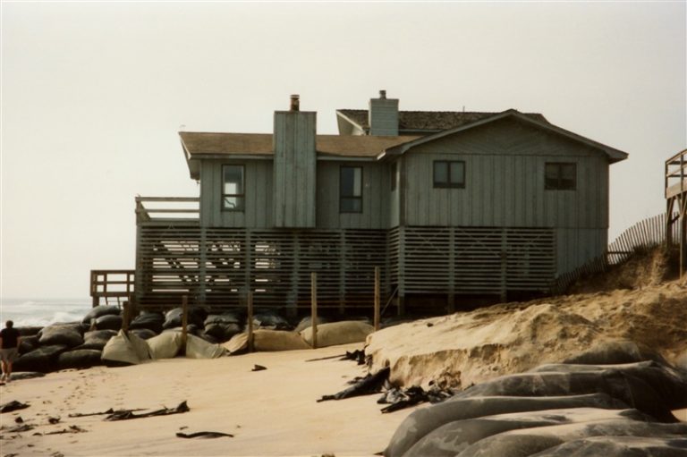
Long -term land use planning for communities is essential. Based on NOAA and US Army Corps of Engineers reviews, the East Central Florida Regional Planning Council (2018, Appendix D) recommended that local and regional planning institutions anticipate a projected rise of 5 to 8.5 feet by 2100. This is a substantial increase compared to the 1 to 3 foot estimates commonly used for earlier decades and the older estimates were clearly not alarmist (e.g.,SFRCCC, 2019; IPCC, 2019).
Long term infrastructure and transportation planning is very important for shorelines, including causeways and low-elevation roads (Space Coast TPO, 2023). To examine future shoreline conditions along the IRL, a web-based geospatial tool, Future Shorelines, integrates high-resolution elevation data and a matrix of locally derived NOAA Interagency Sea Level Rise Scenarios (Parkinson et al. 2024). Useful flood mapping and financial risk tools for Florida communities are also web-available at Climate Central, NOAA’s Digital Coasts, and Flood Factor.